نُبدع , نُعلن , نُؤثر
إبداع بلا حدود, إعلان بلا قيود
Executive Summary
We are
SyrianGIS, founded in 2025 and headquartered in Damascus, is a pioneering geospatial solutions company created to support Syria’s reconstruction and long-term development through advanced spatial technologies. Established with a vision to bridge local needs with global expertise, SyrianGIS operates with strong affiliations in the United States, Switzerland, and across the Middle East, positioning the company at the intersection of international innovation and Syrian on-the-ground realities.
Our Core Focus
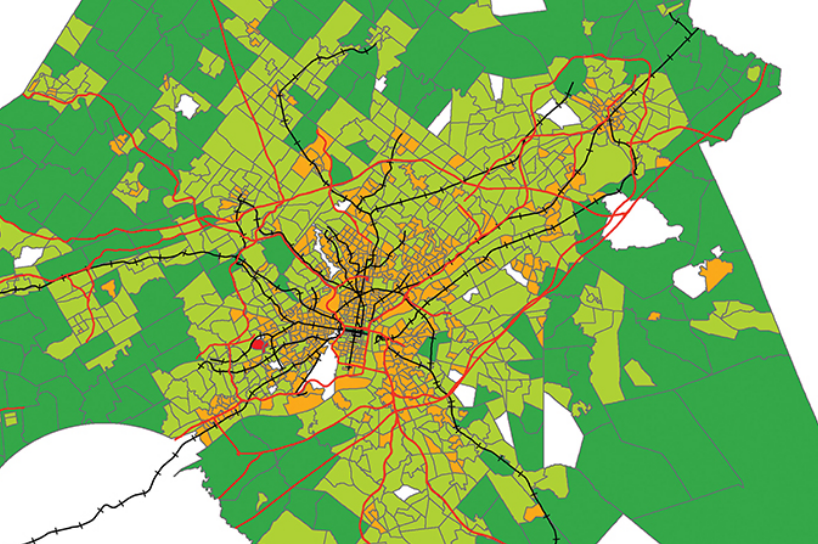
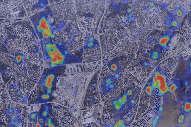
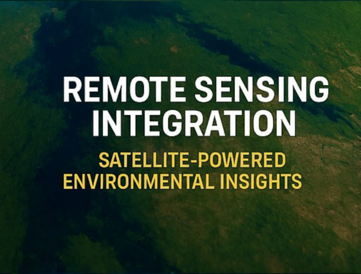
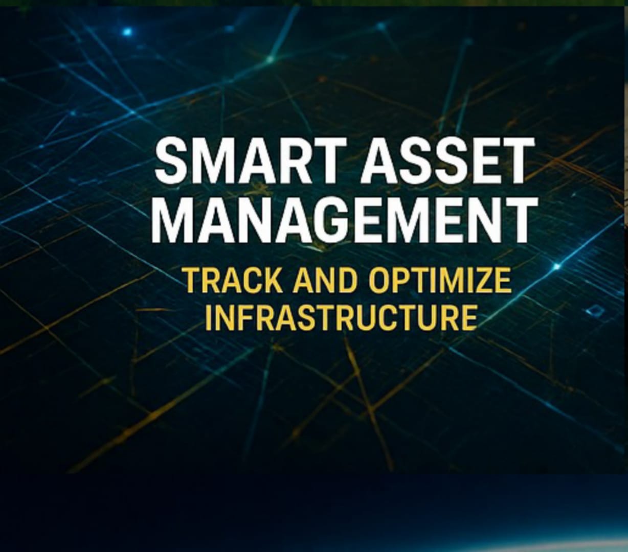
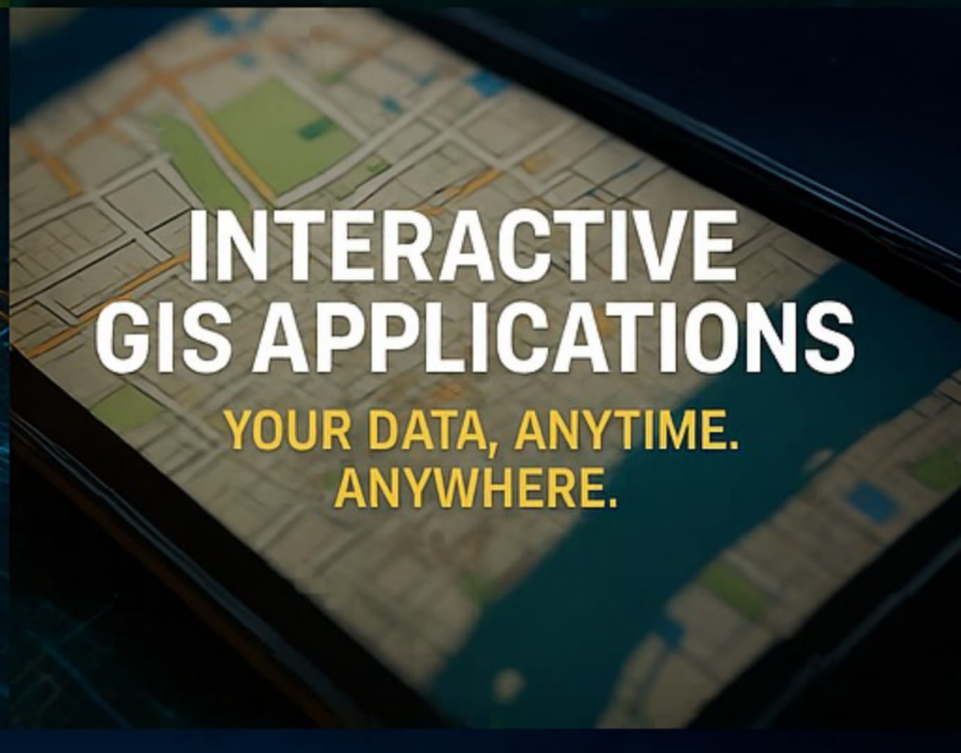
SyrianGIS specializes in a comprehensive range of GIS-related services, including advanced mapping systems, remote sensing integration, spatial data analysis, 3D modeling, asset and utility management, and the customization of GIS software and mobile applications. Our training and capacity-building initiatives are designed to upskill both governmental and private sector personnel to ensure sustainability, knowledge transfer, and adoption of global best practices. We tailor these services to the specific conditions of Syria’s post-conflict recovery, designing digital tools that support reconstruction, planning, governance, and economic revival. Our ability to localize global technologies while maintaining high international standards is central to our operational philosophy.
Targeted Industry Applications
SyrianGIS is focused on sectors that are both strategic for the country’s development and highly aligned with Trimble and Esri capabilities. These include:
• Electricity & Power: Utility mapping, outage management, and modernization of aging infrastructure.
• Oil & Gas: Geospatial tools for pipeline integrity, exploration, and seismic analysis.
• Transportation: Mapping and monitoring for road construction, rehabilitation, and traffic optimization.
• Water & Waste Management: Detecting infrastructure damage, optimizing usage, and asset tracking.
• Agriculture: Supporting precision farming and irrigation planning in vulnerable rural zones.
• Urban Planning: Assisting with zoning, land use visualization, and sustainable city development.
• Tourism & Cultural Heritage: Digitizing historical sites and enabling virtual storytelling.
• Emergency Management: Enhancing disaster preparedness and recovery through GIS driven planning.
Meet Our Team
Head of International Relations & Business Development Spokesperson & Strategic Partnerships
Ahmed Saddiddin
Human Resources & Compliance Officer Immigration Consultant Lead
Amer Sad Al Din CTO & Immigration Consultant
Migration Research & Academic Liaison Policy Advisor (Spatial Governance & Integration)
Sebastian Silva
ales & Contract Negotiations Lead Administrative Support & Deal Closure Assistant
Khawla Mdawi
Public Relations & Field Operations Supervisor On-the-Ground Support for German-speaking Partners
Mohammad Almdallal
Regulatory Compliance & Contracts Reviewer
Souliman Marai
Head of Tourism & Business Platforms Marketing & Outreach Coordinator – Including content flow, SEO, and site growth strategy
Mohamad Halima
Our Services


Let’s Build Syria’s Geospatial Future Together
Mission
To empower Syria’s transformation by delivering world-class geospatial solutions that drive sustainable development, modernize infrastructure, and support the evolution of transparent, data-driven governance.
Values
• Localized Insight: Deep understanding of Syria’s bureaucratic, legal, and infrastructural environments. • Operational Agility: Flexible, rapid deployment and multilingual execution across sectors. • Cross-Sectoral Adaptability: Seamless integration with Trimble, Esri, and other leading GIS platforms. • Ministry & Municipal Engagement: Active collaboration with government bodies to align on real-world needs and immediate project pipelines. • Trusted Partnerships: We aim to become Syria’s most reliable geospatial partner — empowering ministries, municipalities, and NGOs. • Data-Driven Empowerment: Helping public and private stakeholders make informed decisions that drive sustainable reconstruction, optimize service delivery, and build long-term resilience.
Vision
To become Syria’s foremost GIS partner and a regional model for technology-led post-conflict recovery, digital spatial planning, and integrated development.
We believe
At SyrianGIS, we believe we are uniquely positioned to serve as the trusted bridge between leading global geospatial innovators—such as Trimble and Esri—and the evolving Syrian market. With deep local roots and international alignment, we are committed to fostering long term, strategic partnerships that power Syria’s digital transformation, infrastructure modernization, and post-conflict recovery.
Why SyrianGIS?
• Local Expertise Rooted in Syria, we possess a deep, practical understanding of the country’s administrative systems, post-conflict terrain, and socio-political nuances — allowing us to operate effectively where others may hesitate.
• International Standards Through affiliations in Switzerland, the United States, and the broader Middle East, SyrianGIS integrates global best practices in GIS and geospatial management, ensuring compliance, interoperability, and innovation.
• Government Engagement We are already in active dialogue with key ministries, public utilities, and development authorities — laying the foundation for trusted long-term partnerships aligned with national reconstruction goals.
• Agility Our lean and adaptive organizational model enables rapid deployment and scaling across industries and regions, making us an ideal partner for evolving infrastructure needs.
• Multilingual Team Our diverse team reflects Syria’s global ties, with fluency in Arabic, English, French, Spanish, German, Russian, and Ukrainian — ensuring seamless communication with local stakeholders and international partners alike.
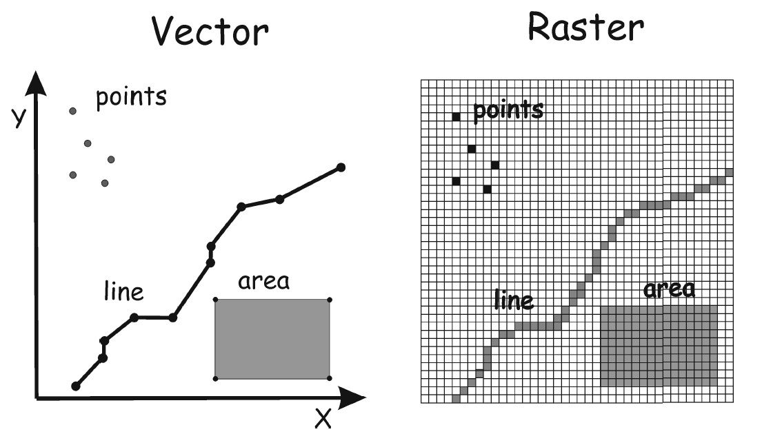
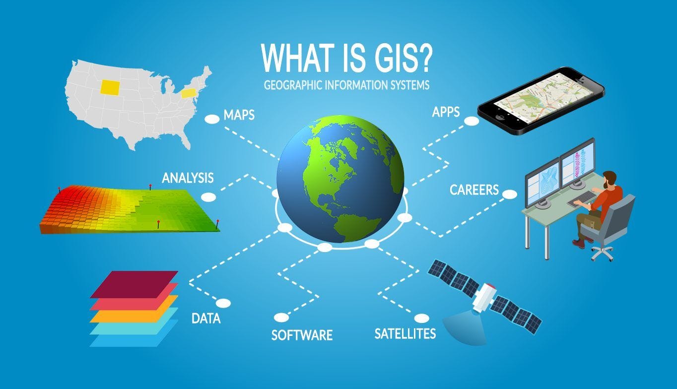
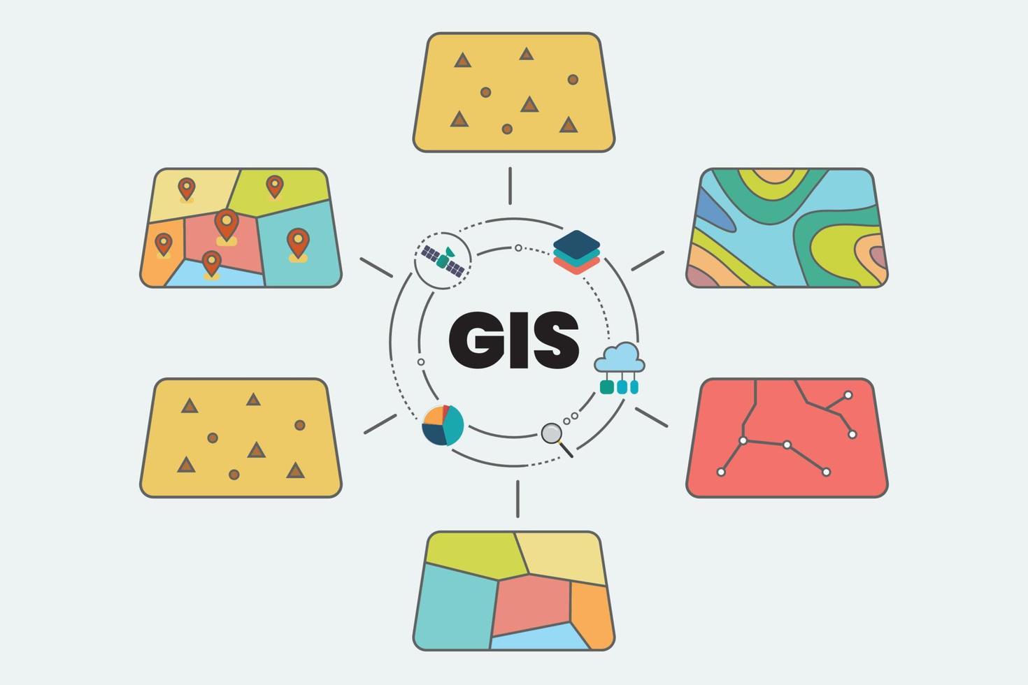
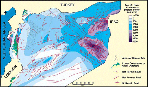
GIS inSights